Let STEM Be Your Guide


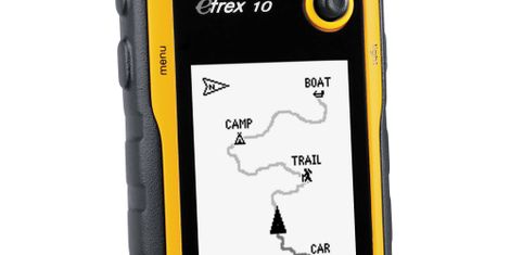
Students will be introduced to navigation and related terminology and concepts as they use a variety of navigational tools such as maps, compasses, GPS devices, and a drone to complete increasingly difficult tasks. My goals are: 1. to increase math proficiency; 2. to increase English Language Arts proficiency; and, 3. to increase College and Career Readiness proficiency. Each of these components is a part of our School Improvement Plan. All goals motivate students to become physically active and passionate about learning, as they experience their surroundings in a new fashion and become aware of career possibilities related to navigation. Guest speakers from a variety of fields - private and commercial aviation, military related, and local land management officials, etc. - will visit to share how navigation impacts their career.
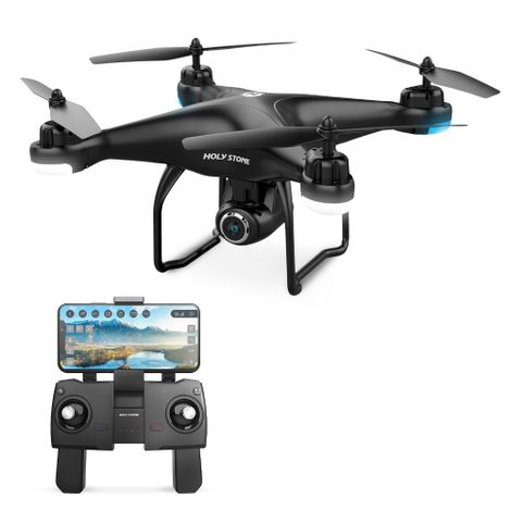
Students will complete hands-on, interactive projects to stimulate the mind and engage the senses as they practice and reinforce math, science, and English Language Arts skills. Project ideas range from creating a 2D map of the school grounds to geocaching events around the school to flying a GPS-enabled drone with HD camera taking aerial pictures of the geocaching events. As students work on these projects they will learn and apply math skills to measure angles and distances, record their activities in a journal, write reflections of each activity, participate in “gallery walks” to share the work they have done with peers, and engage with subject matter experts as they explore possible careers.
Students will be evaluated informally through questioning and observation as they work, and on responses to reflections. Formal observations will be based on a rubric looking at their application of the skills taught, the quality and sufficiency of the work completed. Projects will be shared within the school, on the school and district website, and published in the local paper.
Materials will be purchased locally to build the community.