Discover Dogtown - The App to Have in Dogtown

We will develop a free app that offers visitors a guided tour of Dogtown’s cultural and natural history, folklore, and literature. The app shows a user's GPS location as he or she walks along the old roads and trails of Dogtown, along with numerous placemarks at key locations in Dogtown. Tapping a placemark triggers media that tells a story, plays a song, or provides some other information that is connected to that area in Dogtown. In effect the app functions much like a trail guide or docent at a museum, without need of any other external device other than a smartphone.
The proposed app offers a unique solution to the problem of lost hikers, vandalism of physical signage, and a reluctance of local tourism organizations to offer Dogtown as a destination for visitors to Cape Ann.
Based on feedback from our last pitch we will expand the proposed app in three important areas.
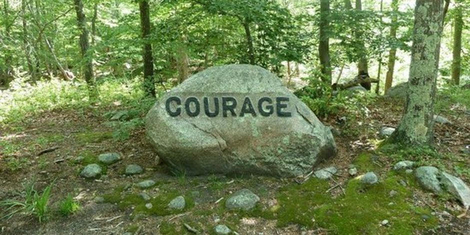
1) Navigation - Display of the user's location along easy to follow loop trails that lead to key areas in Dogtown including the cellars along Dogtown Road, the Babson Boulders, and Whales's Jaw. The app will also show the user how to get back to where they started.
2) Historical Content - Early Gloucester history tied to specific sites in Dogtown -- places where the first settlers lived in Dogtown, the location of an early schoolhouse next to Granny Day Swamp, Revolutionary War hero Peter Lurvey's home along Wharf Road, the location of the last house to be torn down in Dogtown, and many more. The app will also show more recent twists and turns in Dogtown's history including locations of a proposed airport and anti-ballistic missile site.
3) Landscape Features - For those more interested in the natural features and landscape, the app will point out erratics, terminal moraine, heathland, wetlands, old farms and pastures, and mature forests. It will direct the user to some of the places where Marsden Hartley and John Sloan painted their iconic landscapes.